Tag Archives: Călugăreni

Colloquium on the Limes research of Roman Dacia

The Museum Complex from Bistrița-Năsăud organized on the 11-12th of December 2014 a conference entitled „Colocviul Național – Frontierele Imperiului Roman: Dacia – Limes Forum III” (National Colloquium – The Frontiers of The Roman Empire: Roman Dacia – Limes Forum III). The researchers of this field, which were present at this event, prosperously contributed to the existent knowledge about the Roman limes from the point of view of military history, strategies and social aspects also. The main themes, which were widely discussed at this colloquium, were related to the position of forts, watchtowers, defensive systems, different research methods and techniques as well as their results (geomagnetic research; electric resistivity survey; LIDAR). The importance of the Roman limes as a cultural heritage and the possibilities of its evaluation and presentation to the world were also deliberated. Three members from our team attended the meeting. One of the presentations focused on the research, evaluation and projection of the Roman fort from Călugăreni, another one presented the pottery workshop from the civilian settlement of the Roman fort from Brâncovenești, while the third one analysed the Roman military equipment from the eastern limes of Roman Dacia (Sector Brâncovenești- Sărățeni).

10846456_530154540457489_1011656200438591373_n 10847879_530152130457730_4851615213619813810_n

Identity and Culture 2014

tdk poszter

On the 11th of November 2014, the Faculty of Architecture from the Budapest University of Technology and Economics organized for the second time the Students’ Scientific Association Conference in the topic  “Identity and Culture“.  Two of our team members took part in the jury of the conference along with specialists in architecture. The proposition this year was to create a project in three main topics: 1. to design a train station in Călugăreni for the narrow gauge railway whose unused tracks passes through the village;  2. to create a look-out point in the same village for the archaeological and cultural heritage in order to develop the region’s touristic potential; and 3. to develop  projects for the presentation of archaeological and built cultural heritage of Sărățeni. The students’ conference benefited from a large interest this year, which is confirmed by the high number (15) of submitted projects. The projects  were partially based on the architectural surveys of the built heritage of Călugăren and Sărăţenii made during the summer of 2014, but new approaches and projects have also been presented. All of the projects provided very interesting, creative and challenging solutions for the touristic and cultural presentation of the national heritage of this area.

IMG_7701 IMG_7703 IMG_7704 IMG_7710 IMG_7713

Promoting the cultural heritage of Călugăreni

One of our team member took part on a regional conference in Sovata (Mureş county) on the 27th of September 2014 which was focusing on the local history of the town and its surrounding region (III. Szovátai Helytörténeti Konferencia /  The 3rd Conference of Sovata’s Local History). The presentation entitled “Mikháza római öröksége” (The Roman Heritage of Călugăreni) promoted the archaeological and cultural site of the Roman settlement and military fort, presenting the main results and achievements, as well as projects concerning the cultural and touristic potential of the settlement.

plakatA4-page-001

AARG 2014

AARG BOOKLET FINAL red_Page_01

The Aerial Archaeology Research Group (AARG) in association with the University College Dublin and the Discovery Programme organized The Aerial Archaeology Research Group Conference  on the 24th-26th September 2014 in Dublin, Ireland.  The main topics of the conference were related to landscape, aerial data, aerial archeology, new technologies and results obtained through aerial surveys.  One member of our team in collaboration with colleagues from the University of Pécs and from Budapest, Hungary submitted and presented a poster on the topic of the First World War Battles on the Roman Limes from Eastern Transylvania (Romania). Based on aerial and field surveys, the presented research focuses on the First World War trenches which run along the same line as the eastern limes of Dacia did once. The defensive strategy behind the choice of the same place in two different periods was discussed in the poster.

AARG BOOKLET FINAL red_Page_03

AARG BOOKLET FINAL red_Page_24

Archaeological fieldschool 2014

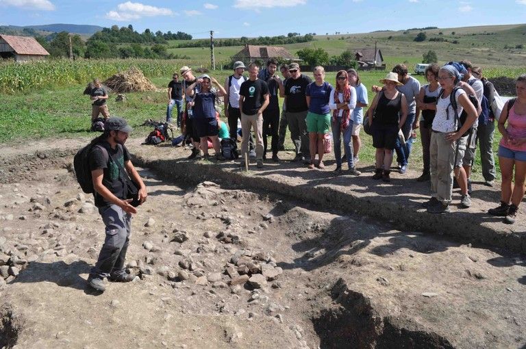
The summer campaign on the Eastern Limes took place between the 17th of August and the 15th of September 2014 with the participation of 52 students and 18 lecturers and specialists, specialists from eight German, Romanian and Hungarian universities and the Mureș County Museum.

Our work was focusing mainly on three forts: Călugăreni, Sărăţeni and Brâncoveneşti and some watchtowers and other elements of the limes sector from Mureş County. The complex interdisciplinary and international research contributed in a considerable way to the better understanding of our limes sector.
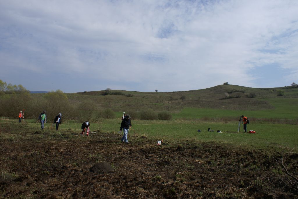
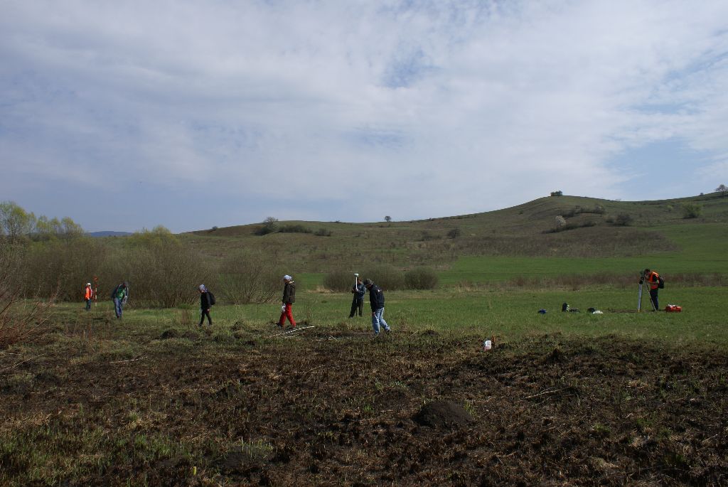
Mikhaza

Field survey

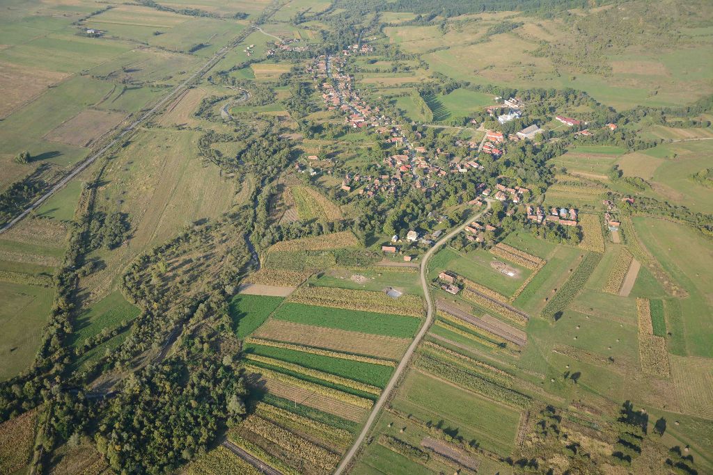
On the major military sites the intensive field walking combined with metal detecting survey was continued in order to determine the extent of the vici and to collect artefacts for dating the sites and specifying their internal structure.

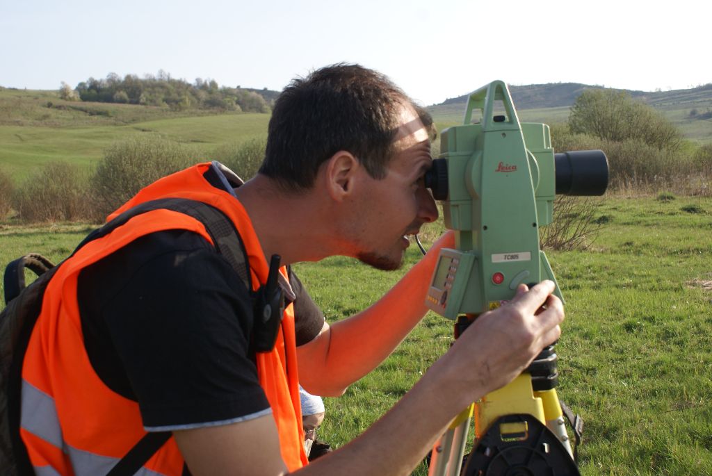
The watchtowers situated in front of the forts were further investigated: two new watchtowers were identified by field-walking and aerial survey, one in the Becheci-Mountain in Mărculeni and another north of Vătava in the Călimani-Mountains. As far as the topographic survey concerns almost 1000 points were measured at this sites, which allowed us to develop  their digital terrain models.

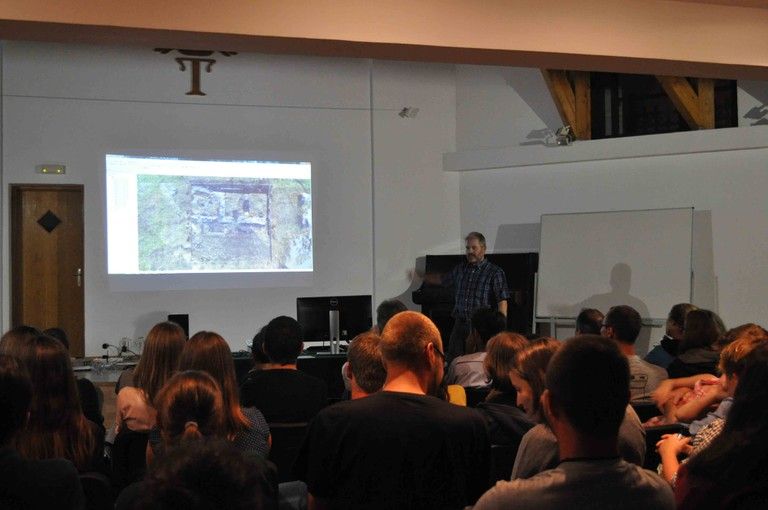
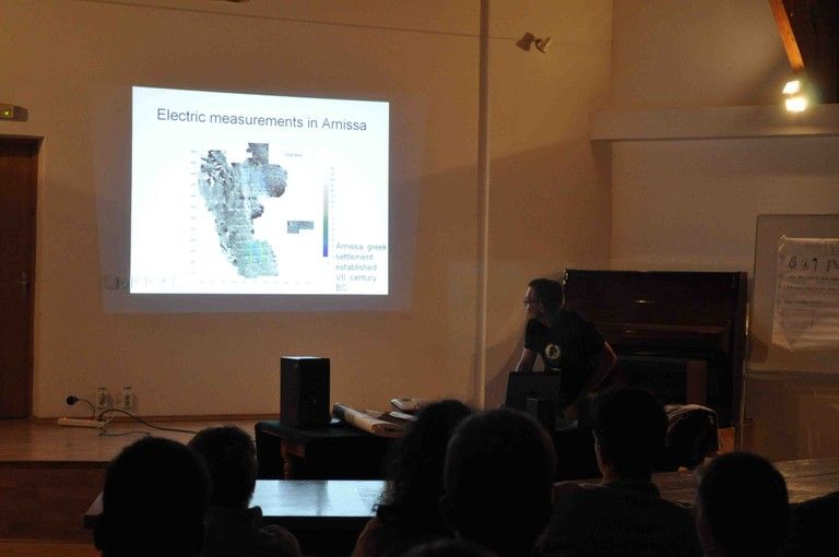
Geophysical survey have been undertaken on the military sites and at several watchtowers. In Călugăreni magnetic and geo-electrical resistivity survey have been made to identify the plan of the bath and to explore the area between the bath and military fort. Geomagnetic survey was also done in the vicus from Brâncoveneşti, in the fort of Sărăţeni and at the watchtower in Vătava. With geo-electrical resistivity survey parts of the fort of Sărăţeni has been located.
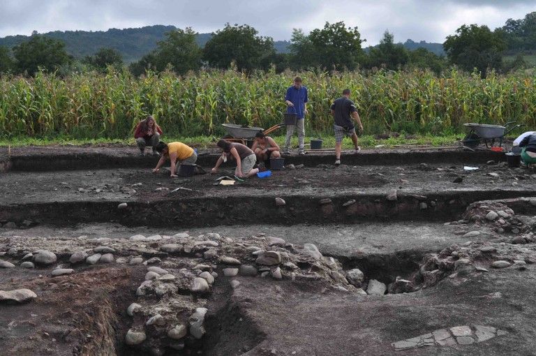
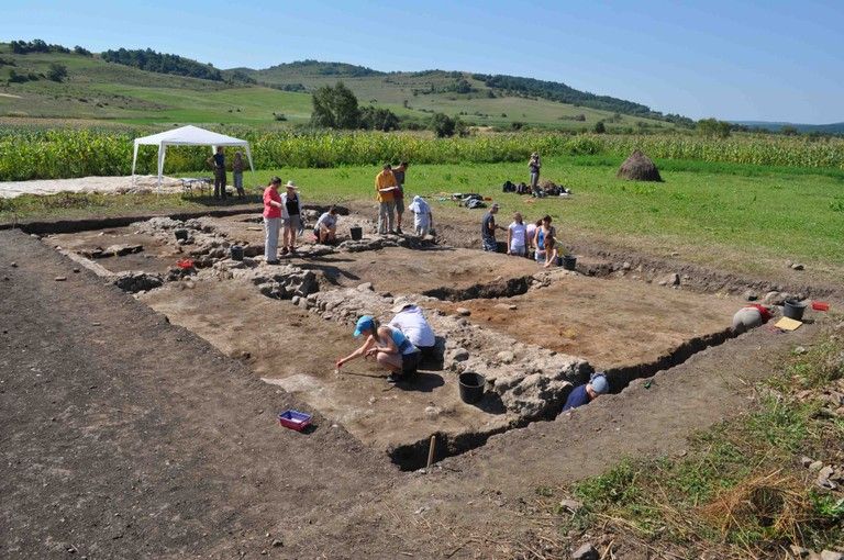
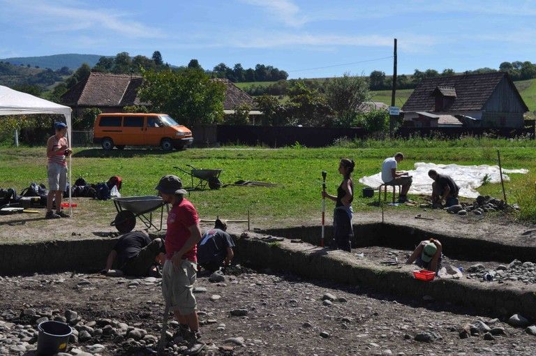
image

1

Excavation

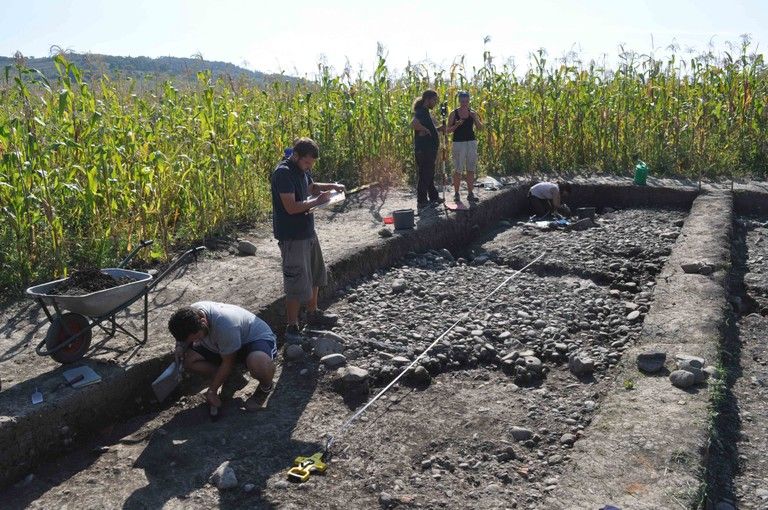
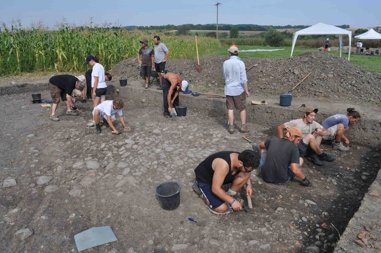
During the excavation from Călugăreni,  started in the last year,   three different areas were investigated: the principia (Area A) in the military fort;  the bath (Area B) and a portion of the road’s turnout (Area C) in the vicus.

In the principia a trench, measuring 15 x 7 m, was opened, where portion of the building with aedes, two neighboring rooms and the basilica in the front were spotted. By continuing the trench from last year other phases have been identified. It could be observed that the remains of the horizontally laid charred wood material in the lower layers had been preserved quite well. This could have been belonged whether to an older timber construction phase – threshold beam – before the stone phase, or it might be linked to the wall construction technique  of the stone principia.

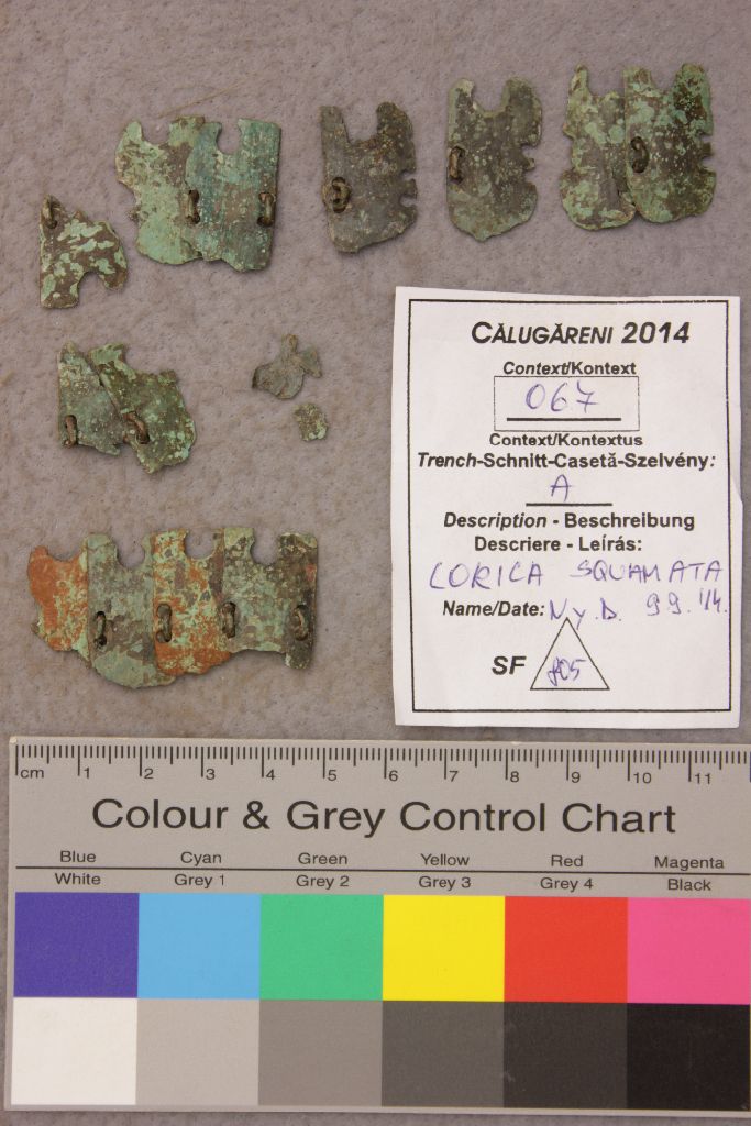
Several small finds have been recovered, like armor scales or a bronze statue of Mercurius. The distribution of glass fragments points to the existence of window panes in the principia.

image_large4 image_large3 image_large2 image_large1 image_largeimage_large5

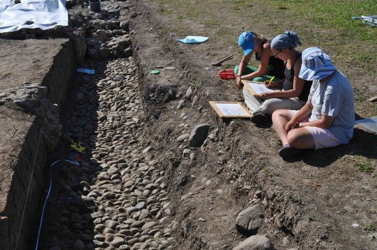
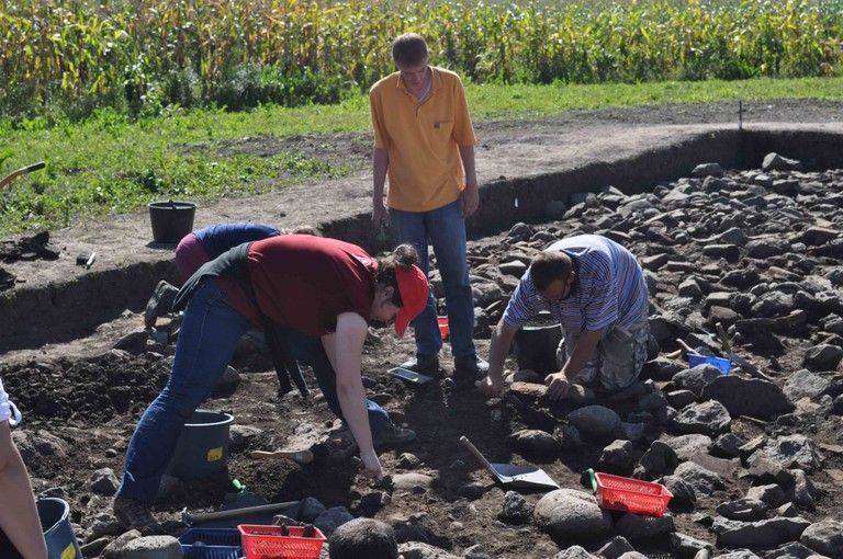
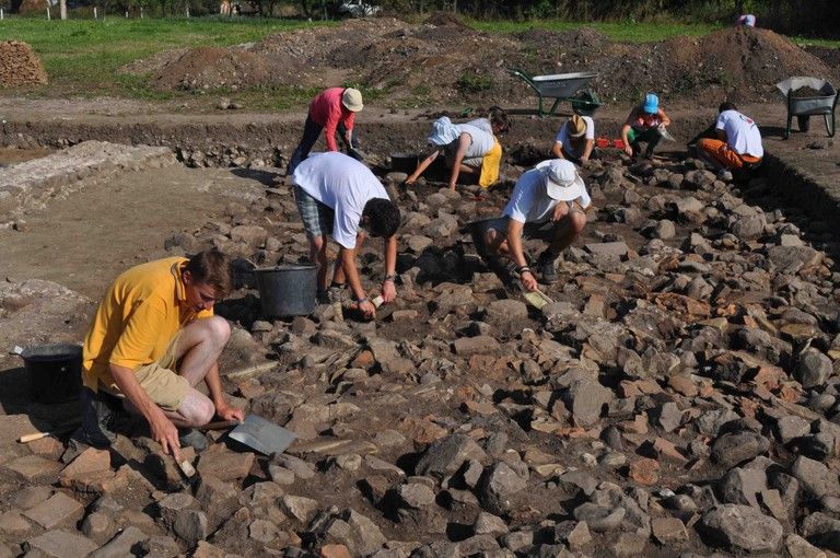
In the bath area (Area B) the trench from last year was extended to 10 x 10 m. There were unearthed wall fragments (also traces of robbing trenches), damaged plaster fragments, floor fragments of waterproof mortar and remains of the hypocaustum system.

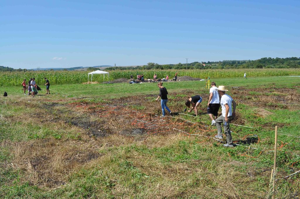
In Area C a building complex was investigated in the central area between the fort, bath and civilian settlement where the geomagnetic measurements indicated a turnout of the main road and a secondary road in the vicus. In two trenches (12 x 12 m) cobble- and stone structures appeared, which could have been parts of a solid walking level (courtyard).   A building could be identified in this area. The rests of a clay floor indicate another older construction. In order to investigate the extent and structure of the buildings the trenches needed to be extended.

c c1 c2

Architectural survey

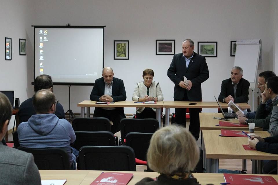
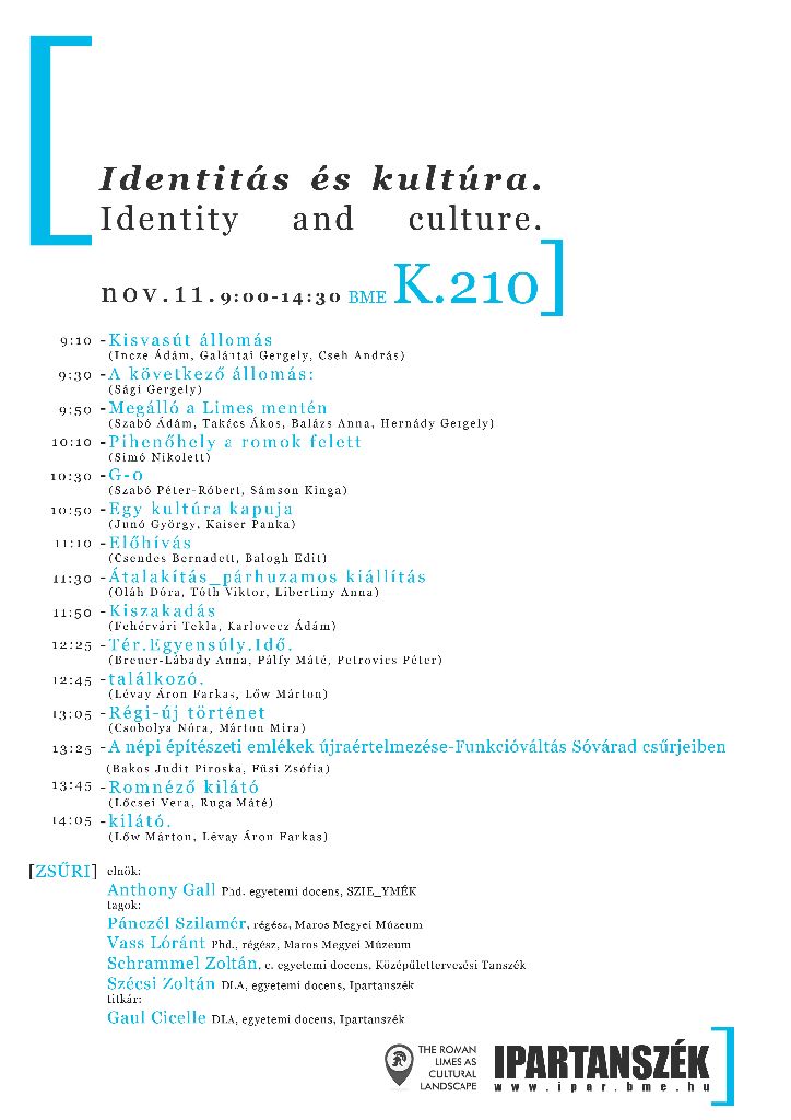
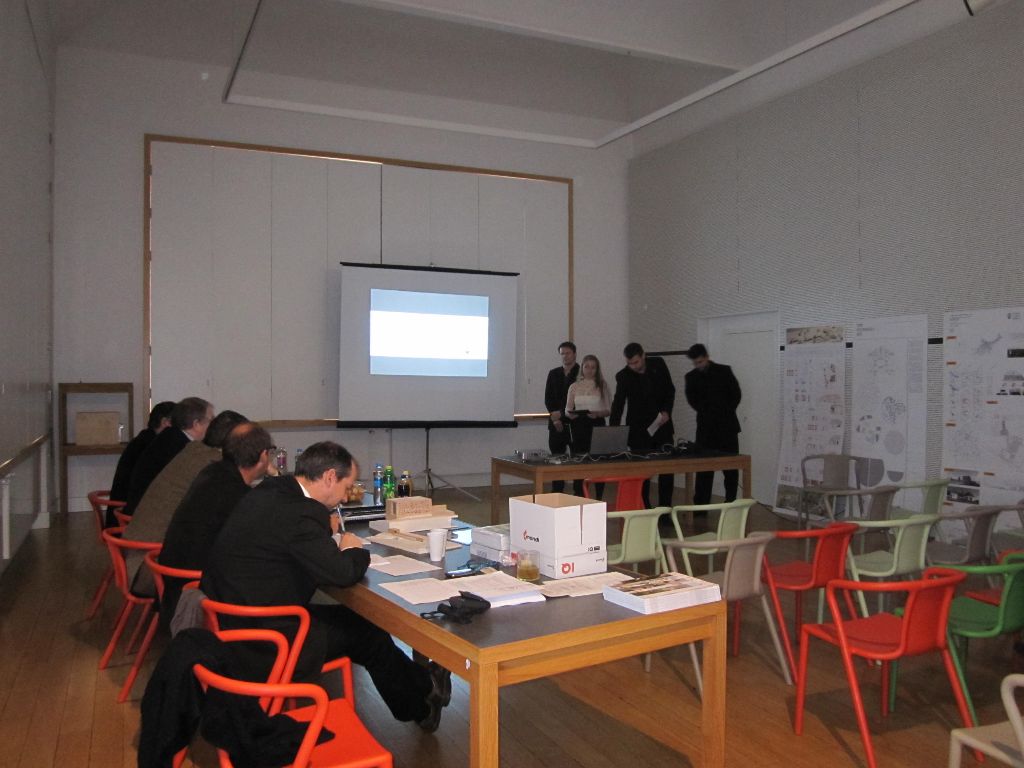
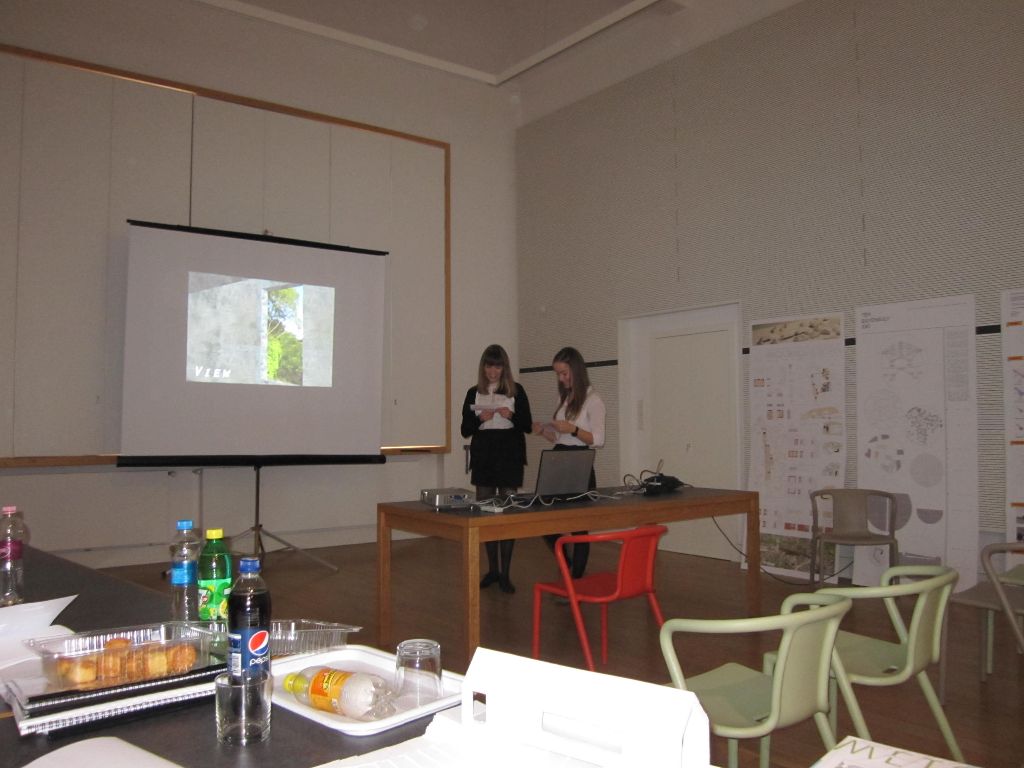
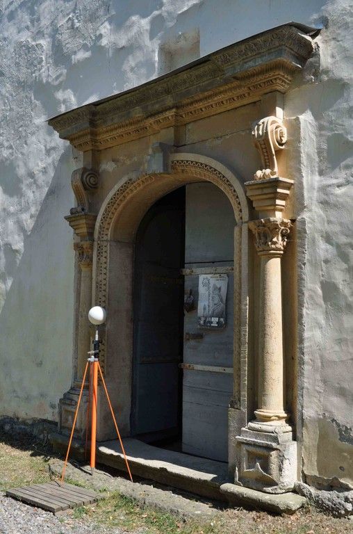
In Călugăreni and Sărăţeni the architects documented vernacular monument buildings and traditional timber structures. There were elaborated projects concerning the touristic potential and possible new functions of the buildings as well as projects for presenting the archaeological sites. Just like last year, these results will be presented on a Student Conference at the Budapest University for Technology and Economics.

Measuring/Laserscanning/3D-Digital photographing

At the measuring of the archaeological finds and historical buildings both traditional and innovative methods (Laser scan, 3D-Digital photographing) were used.

measure
measure1

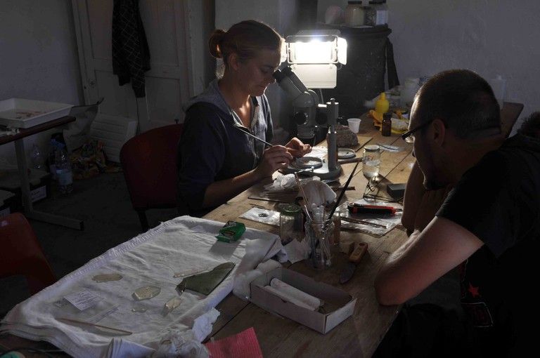
Find processing and restoration

The culture house from Călugăreni housed the find processing laboratory where the finds have been cleaned and sorted. The most important ceramic forms were drawn and photographed. The restoration of the most important small finds was also carried out here. All the finds recorded as well.

805 (1)

lab lab1 lab2

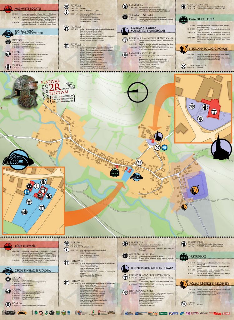
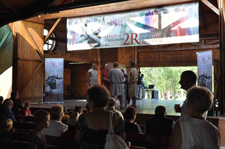
Festival 2R / 2R Fesztivál

A Roman and a Renaissance Festival have been organized by the Mureş County Museum on the 23rd of August in Călugăreni, where we presented our work for the public.

fesztival2fesztival1

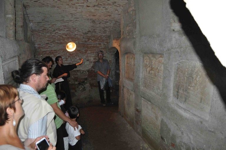
During the archaeological campaign from 2014 several presentations and weekend trips (Sighişoara, Târgu Mureş, Cluj-Napoca and the salt mine from Praid) were also organized.

eloadas eloadas1 eloadas2

2R Festival

The Mureș County Museum in collaboration with the Barn Theatre Association will organize the 2R FESTIVAL in the village of Călugăreni, parish of Eremitu, Mureș County on the 23rd of August 2014.

The cultural event offers an invitation for a time travel, in the Roman and Renaissance age, marked in the local landscape by important regional and national heritage values. The Roman defensive system as well as the auxiliary fort and settlement from Călugăreni have the potential to be nominated in the UNESCO World Heritage list, and also in the international site of the „The Frontiers of the Roman Empire”. The Franciscan monastery is one of the most important monuments of the late Renaissance period of Transylvania, a prestigious spiritual centre of the region until the 20th century.
The 2R FESTIVAL – ROMAN AND RENAISSANCE – FROM CĂLUGĂRENI will present and promote during the whole day the components of the provincial Roman culture and civilization, specific to the Roman Dacia, as well as the particular features of the Transylvanian Renaissance, through a series of events and activities with cultural-educational character with considerable impact on a large audience.
In the court of the Barn Theatre from Călugăreni military demonstrations and gladiator fights will be organized with the participation of associations specialized in historical re-enactments, and workshops inspired from the Roman everyday life will be also functioning. The spirit of the Renaissance and the monastic life will be evoked in the court of the Franciscan church.

Program_media.CDR

The archaeologists from the Mureș County Museum together with partners from Germany, Hungary and Romania, which are carrying out archaeological investigations in the military fort and settlement from Călugăreni this time, will provide guided tours to the archaeological excavations and will show the visitors the recently found and restored archaeological artefacts. An exhibition, entitled „Romans in Călugăreni” will also be opened. This presents the discoveries from the Roman fort and settlement situated in the territory of the village, recovered during archaeological researches from 2004, and 2011-2013. The exhibition entitled „Identity and Culture. Three Topics, Eleven Projects” present the work of the students from the Department of Industrial and Agricultural Building Design of the University of Technology and Economics from Budapest about the possibilities of promoting the Roman limes. The Roman military life will be shown through the displayed mock-ups of the exhibition entitled „The Romans through Gulliver’s Eye”. There will be held presentations focusing on the Roman culture and civilization in general, and especially on the impact of the Roman culture and civilization on Roman Dacia. In the Franciscan church and monastery will also take place thematic guided tours. An exhibition („The book collection of the Franciscan from Călugăreni”) presenting the history of the monastery’s library will be opened. The activities will be ended by a torched parade to the Roman site with the participation of all visitors. During the whole day there will be organized workshops and activities illustrating the life and occupations of the Romans from the Empire’s provinces: making mosaics, pottery, stone-working, Latin writing, theatre, hairdressing, tailoring, social games, Roman cuisine, wine tasting, slave market, sweet-shop etc. The activities and workshops related to the Renaissance monastic milieu will be the followings: the art of writing, paper manufacture, rosary making, blacksmithing etc.
In order to ensure the successful course of this project, the organizers collaborate with the Mayor’s Office of Eremitu, Teleki Library, Roman Limes Research Centre, Artecotur Association, Unitarcoop, Pokoly Association and the project „Roman Limes as European Cultural Landscape”. The main financial support is provided by the Mureș County Council.
Sponsors: Bethlen Gábor Fund, Borpatika, Archaeomoles, Borpatika, Cetate Production.
The event’s main purpose is to promote the archaeological and historical investigations and to offer the chance for the visitors to re-live the past for a day.

Plakat_Mikhazi_Romai_Fesztival_10.cdr

How to get to Călugăreni?
Public transportation with minibuses on the following route: Târgu Mureş (Voiajor bus station) – Călugăreni – Câmpu Cetăţii/Sovata and Sovata/Câmpu Cetăţii – Călugăreni – Târgu Mureş.
By car on the following route: Târgu Mureș –Ernei –Călugăreni.
By bicycles on the following routs: Târgu Mureș – Livezeni – Miercurea Nirajului – Vărgata – Călugăreni, or Târgu Mureș – Sângeorgiu de Mureș – Ernei – Căluşeri – Isla – Călugăreni.

Fieldwalking

Between the end of April and beginning of May 2014 a large area of the former Roman auxiliary fort and settlement from Călugăreni (Mureș County) has been surveyed by our team, through an intensive and systematic fieldwalking. More than 14.5 hectares were surveyed with the help of modern methods and instruments: the whole area was divided into grids (25 x 25 m) marked with a total station. A significant quantity of pottery and several small finds (different glass vessel fragments, iron tools, weapons, and instruments, iron and metal slag etc.) have been identified during the intensive fieldwork. Their position in the surveyed area was measured precisely with a high precision GPS instrument. Due to the rigorous surveying methods we managed to identify the boundaries of the vicus around the auxiliary fort from Călugăreni and to locate the most intensively inhabited parts of the settlement.

SONY DSC SONY DSC

SONY DSC SONY DSC